Springer Nature: Remote Sensing in Earth Systems Sciences
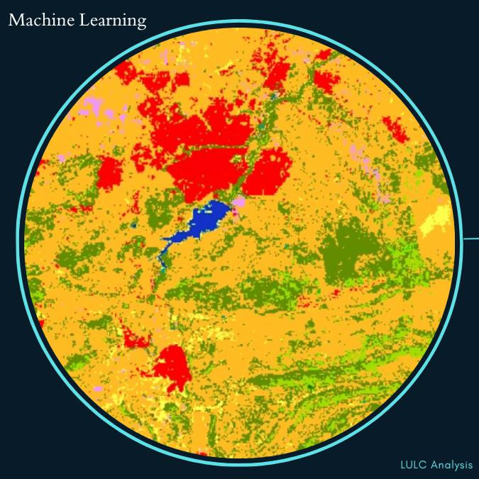
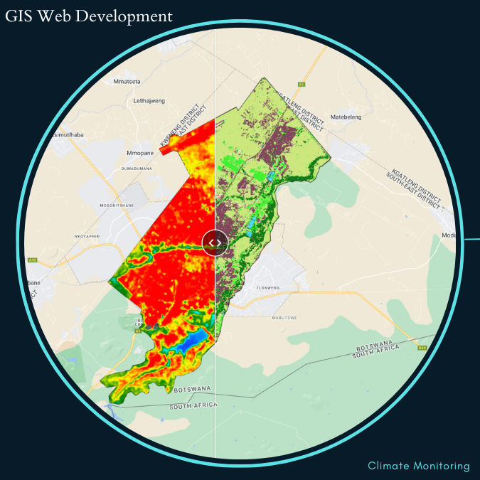
Cloud-Computing Trend Analysis of Urbanization Impacts on Land Surface Temperature and Electricity Demand in Gaborone, Botswana
2024
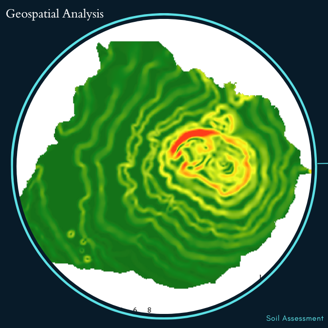
Elsevier: Geomatica
Spatial scale drives pedodiversity-elevation relationship in Botswana
2023
MDPI: remote sensing
Risk Assessment of Rising Temperatures Using Landsat 4–9 LST Time Series and Meta® Population Dataset:
An Application in Aosta Valley, NW Italy
2023
UNFCCC: Climate Chnage
Integrating Cloud Computing and Machine Learning in understanding
the effects of Urbanization on Climate Change and Socio-Economic
Development: A Case of Gaborone, Botswana.